After India's driest monsoon in 11 years, Tamil Nadu pins its hopes on a 'normal' northeast monsoon
The southwest monsoon ended 13% short nationally and 20% short in Tamil Nadu. The IMD expects a normal northeast monsoon from the third week of October, but warns north interior districts may get less.

The four-month southwest monsoon ended on September 30 with India's largest rainfall shortfall in more than a decade. For Tamil Nadu, which gets most of its rain later in the year, the question now is whether the northeast monsoon can make up the gap. The India Meteorological Department (IMD) says it should be normal, but not everywhere.
A dry season for the country
According to the IMD, India received 759.4 mm of rain between June and September, against a long-period average (LPA) of 868.6 mm. That is 87% of normal, a 13% deficit. The Indian Express reported that this makes 2026 the driest monsoon in 11 years, the fourth driest this century and the 13th driest since 1901. The last time rainfall fell below 90% of the LPA was in 2015, another strong El Niño year.
Three of the four months were badly short. June's deficit was more than 35%, August's 16.3% and September's 7.6%. Only July was normal. About 38% of the country, 282 districts, received deficient rain.
The cause, forecasters say, is El Niño, the periodic warming of the equatorial Pacific that tends to suppress Indian rainfall. This year's event is developing into what the Indian Express described as possibly the strongest on record, with a peak expected in November and an end by March 2027. All the southern States ended the season with a deficit.
Tamil Nadu: 20% short
Tamil Nadu's southwest monsoon rainfall was 20% below normal. Several districts, including Nagapattinam, Karur, Thanjavur, Thoothukudi and Chengalpattu, were more than 35% short. Thanjavur and Nagapattinam are at the heart of the Cauvery delta, where the shortfall will be watched closely by farmers.
What the IMD expects next
Speaking at a virtual briefing on Wednesday, IMD Director-General Mrutyunjay Mohapatra said the northeast monsoon was likely to be normal over Tamil Nadu. The State normally receives about 44 cm of rain in this season.
The forecast is uneven. South and coastal Tamil Nadu are likely to get normal to above-normal rainfall. North interior districts are expected to get below-normal rain. Conditions are favourable for the monsoon to set in from the third week of October. October itself may also be hotter than usual, with above-normal maximum and minimum temperatures.
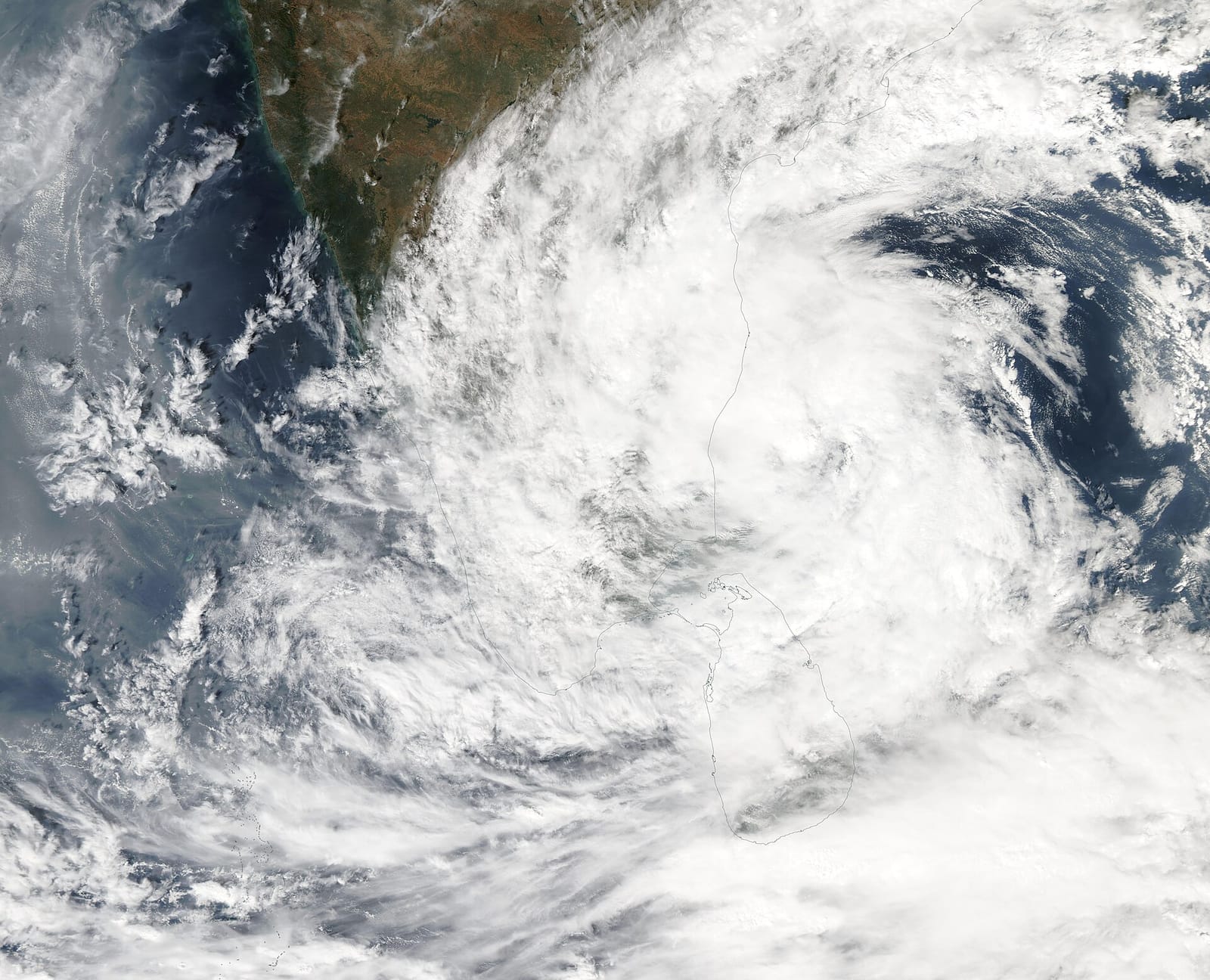
Dr. Mohapatra explained that in El Niño years, weather systems in the northeast monsoon tend to track towards Tamil Nadu, south Andhra Pradesh and Sri Lanka, and that the formation of low-pressure systems will largely decide how much rain falls. The Indian Ocean Dipole is expected to stay neutral; a positive dipole is usually considered helpful.
The next few days
In the short term, the Regional Meteorological Centre forecast a wet spell over the Western Ghats and interior districts until the weekend, with heavy rain possible at one or two places in the Nilgiris, Coimbatore and Erode districts on Thursday. V.R. Durai, head of the Regional Weather Forecasting Centre, said the State was in a transition between the two monsoons. Hot conditions in the interior were partly linked to El Niño, he said, and temperatures would fall only where rain arrived.
Why it matters
For reservoirs, groundwater and the delta's samba crop, the next three months matter more than the last four. A "normal" State-wide forecast can hide a dry north interior. Water managers and farmers in those districts will need plans that do not depend on the average.
Sources
Share this story
Related articles
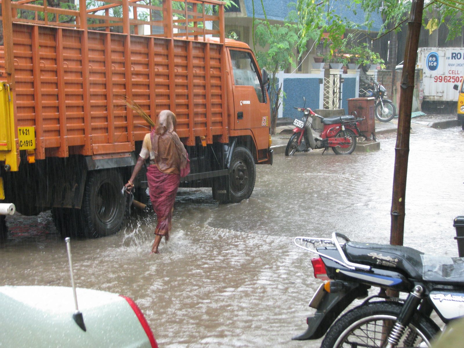
Heavy rain till October 3: IMD sounds yellow alert across Tamil Nadu, Chennai braces for more
The India Meteorological Department has sounded a yellow alert across Tamil Nadu, warning of heavy rain with thunder, lightning and 50 km/h gusts in the Nilgiris, Coimbatore and Erode till October 3; Chennai is already seeing waterlogging and traffic snarls.
· 1 min read
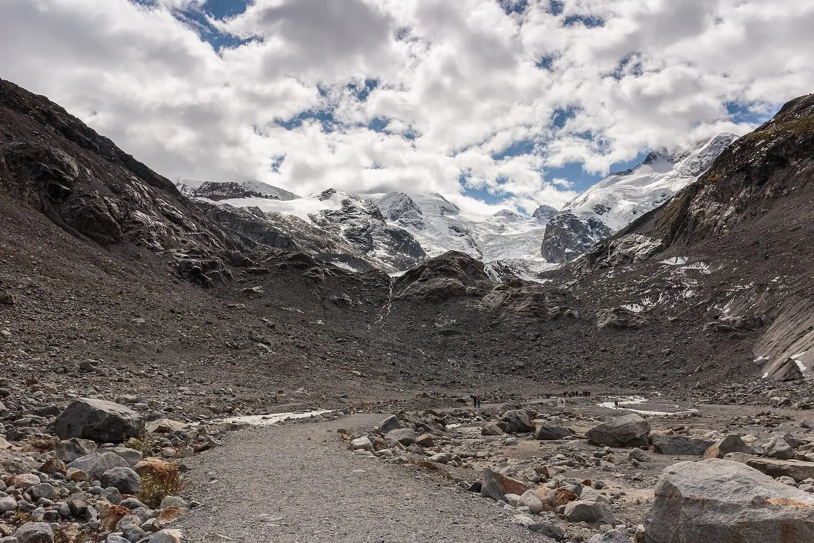
Switzerland loses 5.5% of its glacier ice in one year, and nearly a fifth since 2021
A summer of heatwaves after a snow-poor winter stripped glaciers bare even at 3,500 metres. Scientists say melting that once counted as extreme at 2% a year is now routinely exceeded.
· 3 min read